Cotopaxi National Park gets most of the attention when people talk about high-altitude hiking in Ecuador. Fair enough. The volcano is iconic, the refuges are well known, and the summit attempt is on a lot of bucket lists. But the trails just outside the park boundary tell a different story. They are quieter, less trampled, and often maintained by the people who actually live there. This guide covers self-guided, low-impact routes in Napo, Tungurahua, and Bolívar, where indigenous and campesino communities keep trail networks alive across páramo, cloud forest, and working farmland. If you want to understand how Andean ecosystems function—and how people make a life within them—these lesser-known paths teach more than a crowded refuge or a summit push ever will.
This article is part of our series on ecosystem-specific travel literacy in Ecuador. We look at how trails are built, who maintains them, and what your visit actually supports. The point is not to talk you out of Cotopaxi. It is to offer alternatives that spread the pressure around and put money into communities that rarely see much of it.

Why Hike Outside Cotopaxi National Park?
Cotopaxi National Park sees more than 100,000 visitors a year. Most of them cluster on the José Rivas Refuge route and the Limpiopungo Lagoon loop. The wear is visible: eroded trails, litter, and páramo vegetation that gets trampled before it can recover. Outside the park, you can find routes that are just as dramatic and far less traveled. Many are run by community-based tourism networks that put hiking fees into local schools, trail maintenance, and native plant restoration.
There is a tradeoff, and it is worth naming. Trails outside the park often lack formal signage. Some require hiring a local guide or coordinating with a community tourism office before you show up. That is not a flaw in the system. It is the system. The money stays local, and the experience feels more personal. But it does mean you need to plan ahead and be okay with a certain amount of uncertainty.
Trail 1: Quilotoa Loop – The Classic Community Trek
The Quilotoa Loop is the best-known alternative to Cotopaxi, and it still belongs on this list because it is a working example of community-based tourism done right. The full loop takes three to five days and links the villages of Sigchos, Isinliví, Chugchilán, and Quilotoa. You sleep in family-run hostels, eat food grown nearby, and walk through a landscape shaped by centuries of Indigenous Kichwa agriculture.
What Makes It Different
This is not a wilderness experience. You pass through potato fields, eucalyptus groves, and village plazas. The trail is a living corridor, not a boundary line. That makes it a good fit for travelers who want to see how people and ecosystems interact in the high Andes, rather than just ticking off a viewpoint.
Practical Logistics
The most popular section is the Chugchilán to Quilotoa day hike, which takes about five hours. The trail is well-marked by local standards, but download an offline map anyway. The crater lake at Quilotoa is the visual payoff, but the walk itself is the real value. If you have time, add the Isinliví to Chugchilán section. It crosses a deep river canyon and passes through fragments of cloud forest.
Bus connections from Latacunga are frequent and cheap. You can start in Sigchos or Quilotoa depending on your direction. Most hostels will store luggage for a small fee. Expect to pay $10–$20 per night for a private room with dinner and breakfast included.
Trail 2: The Páramo of Cajas National Park – A High-Altitude Wetland Classroom
Cajas National Park is not outside Cotopaxi in a geographic sense. It sits near Cuenca, about six hours south. But it belongs in this conversation because it offers a completely different páramo experience. Cajas has more than 200 lakes, and its trails are better maintained than almost anywhere else in Ecuador. The park is a UNESCO Biosphere Reserve and a critical water source for Cuenca.
Why Cajas Matters for Travel Literacy
Cajas is the best place in Ecuador to learn about páramo hydrology. The spongy soil, the cushion plants, the polylepis forests—all of it is explained through interpretive signage that is actually good. If you hike Cotopaxi first and Cajas second, you will understand why the two landscapes look similar but function very differently. Cotopaxi is a volcanic cone. Cajas is a glacially carved plateau. The trails reflect that difference.
Recommended Routes
The Laguna Toreadora loop is the easiest introduction, taking about two hours. For a longer day, Ruta 1 from Toreadora to Laguna Llaviucu is a six-hour traverse that drops from páramo into cloud forest. You need to register at the park office and pay a small fee. Buses from Cuenca to the park entrance run regularly.
One caution: Cajas is cold and wet year-round. The altitude is similar to Cotopaxi, but the weather is more consistently miserable. Bring full rain gear, even on sunny mornings. The trails are well-marked, but fog can cut visibility to a few meters. A GPS device or offline map is essential.
Trail 3: The Llanganates National Park – A Cloud Forest Frontier
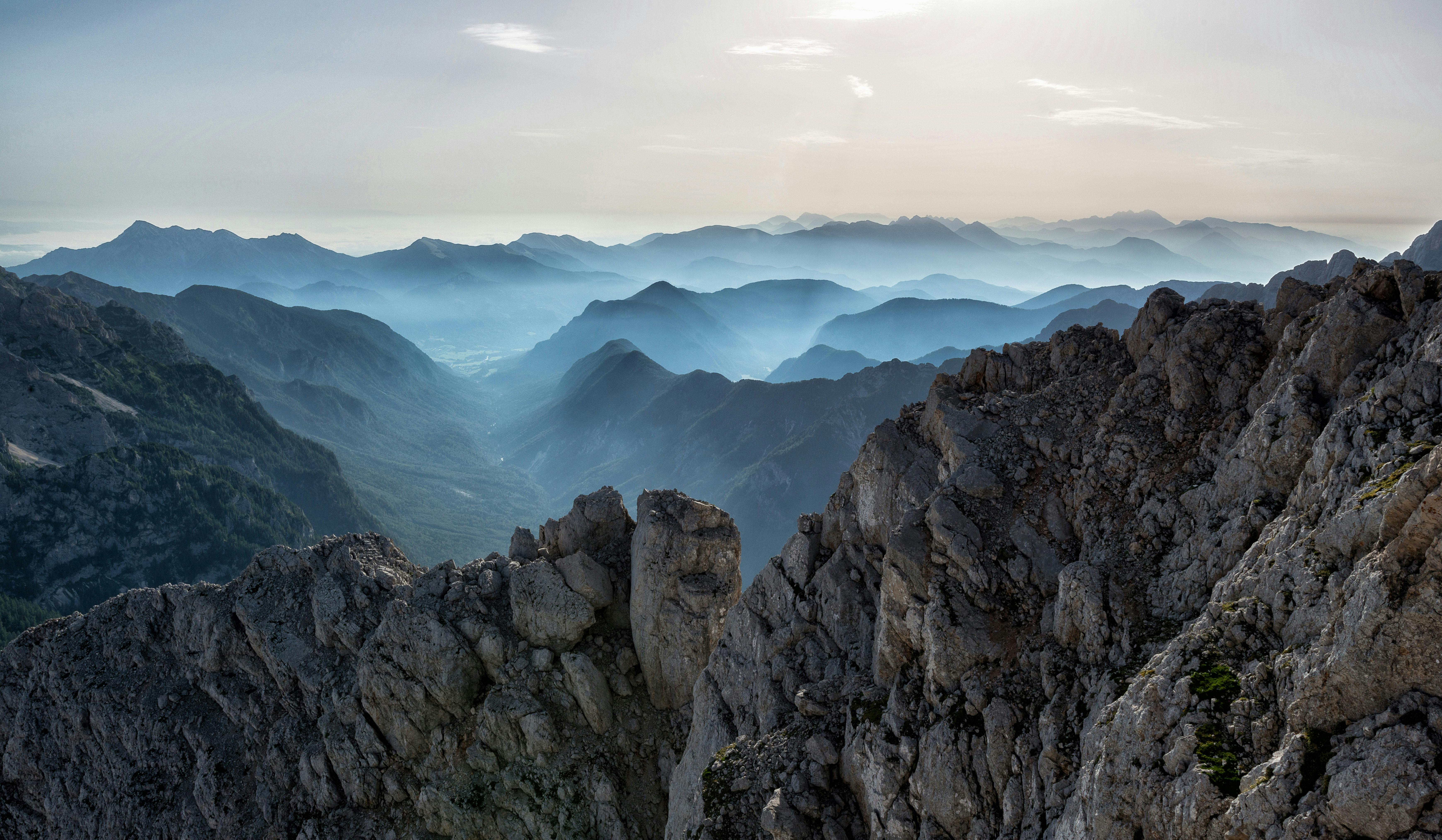
Llanganates National Park is the least visited of Ecuador’s major protected areas, and that is exactly its appeal. The park spans the eastern cordillera between Tungurahua, Napo, and Pastaza. Its cloud forests are some of the most biodiverse in the country, but the trails are rough, muddy, and often unmarked. This is not a place for casual hikers.
The Community Connection
Several communities on the park’s western edge have developed small tourism programs. The village of Pondoa, near Baños, offers guided hikes into the park’s buffer zone. The Ruta de las Cascadas is a well-known day hike, but the deeper trails into the cloud forest require a local guide. That is not a bureaucratic requirement. It is a safety necessity. The terrain is steep, and the weather changes fast.
What You Will See
Expect dense vegetation, epiphytes, and the constant sound of water. The park is a critical watershed for the Pastaza River, which feeds the Amazon basin. You may see spectacled bears, tapirs, and a stunning variety of birds, but the forest is so thick that wildlife sightings are rare. The experience is more about immersion than observation.
If you want to hike here, contact the Pondoa community tourism association in advance. They can arrange a guide, food, and basic lodging. Expect to pay $30–$50 per day for a guide, which is standard for community-based tourism in Ecuador. The money supports trail maintenance and a local school.
Trail 4: The Páramo of El Ángel – A Northern Alternative
In the far north, near the Colombian border, El Ángel Ecological Reserve protects a unique páramo ecosystem dominated by frailejones—tall, woolly plants that are more common in Colombia and Venezuela. The reserve’s trails are short and easy, but the landscape is unlike anything near Cotopaxi. If you are traveling from Quito to the border, this is a worthwhile detour.
Why Frailejones Matter
Frailejones are keystone species in the northern páramo. They capture moisture from clouds and release it slowly into the soil, regulating water flow for downstream communities. The reserve’s interpretive trail explains this process in detail. It is a good example of how a short, well-designed trail can teach more than a long, unmarked one.
Practical Notes
The main trail is a two-hour loop through the frailejones. The reserve is accessible by bus from Ibarra or Tulcán. There is a small entrance fee, and the visitor center has maps and a basic café. The altitude is lower than Cotopaxi, around 3,000 meters, so it works well as an acclimatization hike if you are heading south.
How to Choose the Right Trail for Your Trip
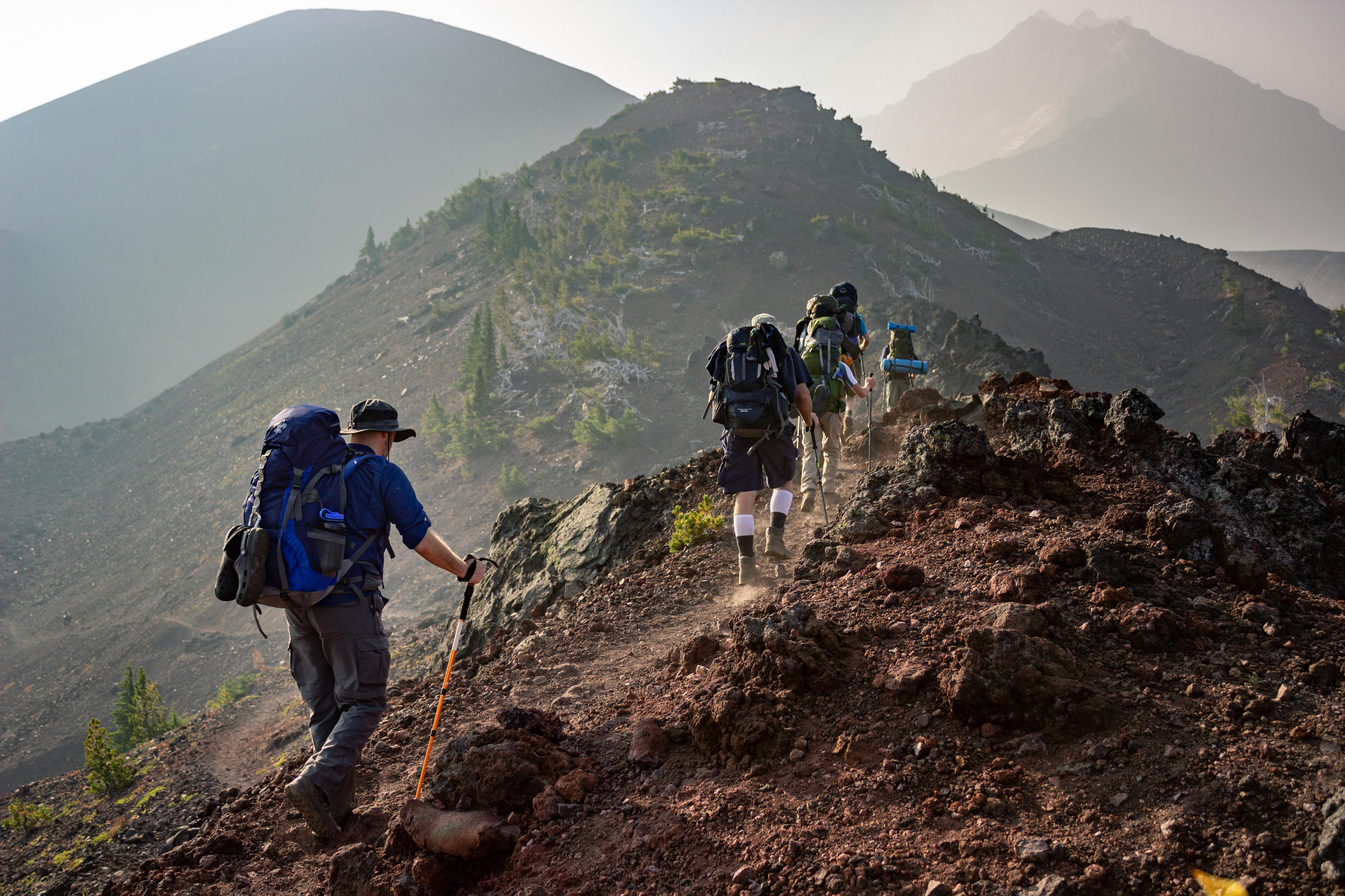
Every trail outside Cotopaxi has a different character. The Quilotoa Loop is social and cultural. Cajas is educational and well-organized. Llanganates is wild and demanding. El Ángel is gentle and unique. Your choice should depend on your fitness, your interest in community tourism, and your tolerance for uncertainty.
Here is a simple framework:
- If you want community interaction: Quilotoa Loop or Pondoa in Llanganates.
- If you want ecological interpretation: Cajas or El Ángel.
- If you want solitude and challenge: Llanganates.
- If you want a short, accessible hike: El Ángel or the Chugchilán–Quilotoa day section.
None of these trails require a guide by law, but all of them benefit from local knowledge. In Llanganates, a guide is strongly recommended. In Cajas, the signage is good enough for independent hiking. In Quilotoa, the trail is well-trodden, but a local guide can add cultural context that you would otherwise miss.
Responsible Hiking Practices in the High Andes
The páramo is a fragile ecosystem. Its plants grow slowly, and its soils compact easily. When you hike outside Cotopaxi, you are often walking through private land or community reserves. The rules are different from a national park, but the principles are the same.
Stay on the Trail
Páramo vegetation can take decades to recover from a single footprint. If a trail is muddy, walk through the mud, not around it. Widening the trail damages the surrounding plants and creates erosion channels. This is especially important in Cajas and El Ángel, where the cushion plants are extremely sensitive.
Pack Out Everything
There are no trash cans on these trails. Carry a small bag for your waste, including fruit peels and toilet paper. In community-managed areas, litter is a direct insult to the people who maintain the trail. If you see trash left by others, pick it up if you can. It is a small act that builds trust.
Ask Before Photographing People
On the Quilotoa Loop, you will pass through villages where people are working, washing clothes, or tending animals. Do not treat them as part of the scenery. Ask permission before taking photos, and be prepared for a polite refusal. A simple “¿Puedo tomar una foto?” goes a long way.
What to Pack for High-Altitude Hiking in Ecuador
The weather in the Andes changes fast. You can start a hike in bright sun and end in freezing rain. Here is a basic packing list for any trail outside Cotopaxi:
- Layers: A moisture-wicking base layer, a fleece or wool mid-layer, and a waterproof shell.
- Footwear: Waterproof hiking boots with good ankle support. Trails are often muddy and rocky.
- Navigation: A phone with offline maps, plus a paper map if available. GPS signal is unreliable in deep canyons.
- Water: At least two liters per person. Streams may be contaminated by livestock.
- Sun protection: The equatorial sun is intense at altitude. Bring sunscreen, a hat, and sunglasses.
- Cash: Small bills for bus fares, community fees, and snacks. ATMs are rare in rural areas.
Frequently Asked Questions
Do I need a guide to hike outside Cotopaxi National Park?
It depends on the trail. The Quilotoa Loop and Cajas National Park can be hiked independently if you have a map and basic navigation skills. In Llanganates National Park, a local guide is strongly recommended due to rough terrain and frequent fog. Community-based tourism associations in Pondoa and other villages can arrange guides for a reasonable fee.
What is the best time of year to hike in the Ecuadorian Andes?
The driest months are June through September, but even then you should expect afternoon rain. December through May is wetter, but the landscape is greener and the trails are less crowded. Avoid hiking during heavy rain, as trails become dangerously slippery and rivers can rise quickly.
How do community-based tourism fees work on these trails?
Most community-managed trails charge a small fee, usually $2–$10 per person, which goes directly to the local tourism association. This money funds trail maintenance, signage, and community projects. In some areas, you may also be asked to pay a guide fee if you want local accompaniment. Always ask for a receipt or a clear explanation of where the money goes.
Are these trails safe for solo hikers?
In general, yes, but you should take standard precautions. Tell someone your route and expected return time. Carry a charged phone and a backup battery. Avoid hiking alone in remote areas like Llanganates, where a twisted ankle could become a serious problem. On the Quilotoa Loop, solo hiking is common and generally safe, but you should still be aware of your surroundings.
A Note on Altitude and Acclimatization
All of these trails are above 3,000 meters, and some reach 4,000 meters or more. If you are coming from sea level, spend at least two days in Quito or another high-altitude city before hiking. Symptoms of altitude sickness include headache, nausea, and shortness of breath. If you feel unwell, descend immediately. There is no shame in turning back—the mountain will still be there tomorrow.
For more on acclimatization and high-altitude safety, see our upcoming guide to hiking Ecuador’s volcanoes responsibly. We will cover the physiological basics, the warning signs, and the best low-altitude training hikes in the country.
Final Thoughts: The Value of Slower Trails
Cotopaxi National Park is a spectacular place, but it is not the only place. The trails outside its boundaries offer something different: a chance to walk through landscapes that are still shaped by the people who live there. When you hike the Quilotoa Loop or the cloud forests of Llanganates, you are not just a visitor—you are a participant in a local economy that depends on your respect and your curiosity.
That is the core of this blog’s approach. We believe that travel can be a force for good, but only if it is done with awareness. The next time you plan a hiking trip in Ecuador, consider skipping the crowded summit and taking a slower path. You might find that the best views are not from the top, but from the trail itself.